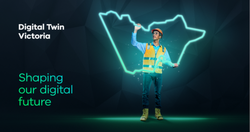
Creating a digital twin of Victoria
Discover how our Digital Twin Victoria program is using data, digital innovation and artificial intelligence to help Victoria plan for a liveable, sustainable and resilient future.
Find out more

Discover how our Digital Twin Victoria program is using data, digital innovation and artificial intelligence to help Victoria plan for a liveable, sustainable and resilient future.
Find out more